July 18, 2022
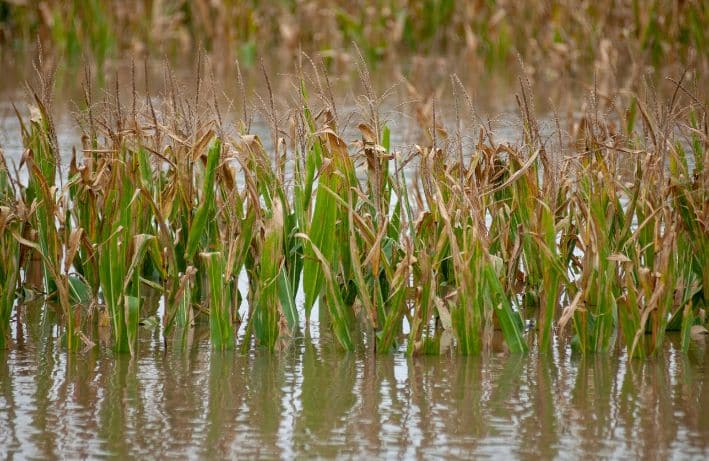
New Maps Show Flood Risk for Iowa Farmland
By News Editor
The comprehensive agricultural flood risk assessment is the first to detail the flood risk to Iowa farmland statewide.
June 1, 2022
Status Update on Better Rainfall Data
By Larry Larson, P.E., CFM
Better rainfall data will lead to better flood maps. Here’s where things stand at the moment.

May 24, 2022
Scientific and Technical Experts Wanted to Resolve Flood Map Challenges
By News Editor
National Institute of Building Sciences is recruiting professionals to serve on an independent panel that reviews technical flood hazard mapping data.
February 24, 2022
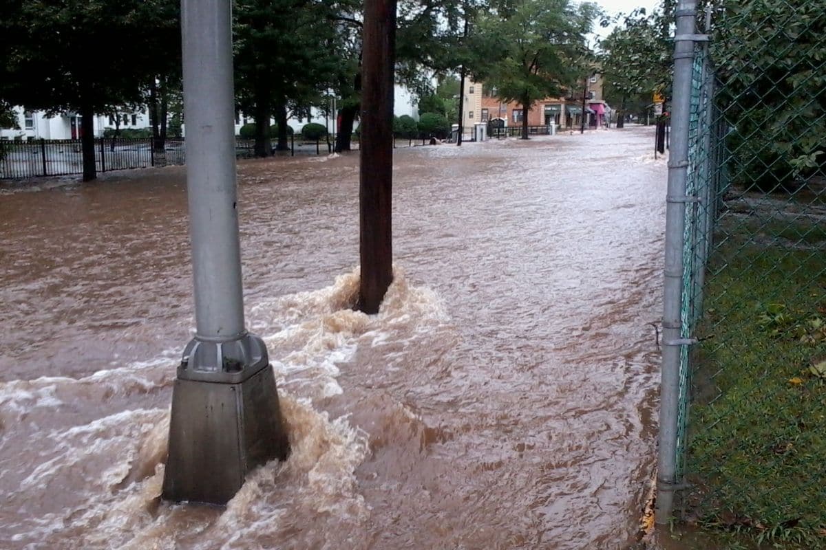
U.S. Flood Damage Risk Is Underestimated
By News Editor
Researchers found a high probability of flood damage for more than one million square miles across the United States, while the mapped area in FEMA’s 100-year flood plain is about 221,000 square miles
November 11, 2020
Senate Appropriations Bill Preserves $263M in Flood Map Funding
By News Editor
The omnibus still needs to be negotiated, passed by Congress, and signed by the President, but this is a very positive development. We had been led to believe that flood map funding was at risk of being cut in the Senate and immediately swung into action.
December 8, 2022
ASFPM Joins Coalition to Make the Case for Flood Hazard Mapping Funding
By News Editor
ASFPM joined a diverse group of organizations urging Congress to provide at least $350 million for FEMA’s Flood Hazard Mapping and Risk Analysis Program.
READ MORE