Status Update on Better Rainfall Data
Have we made progress on getting our flood maps to show what areas will be flooded in the regulatory 1% chance flood? Not only today, but in the future? Let’s break this into the NOW and the FUTURE to explain whether we are making progress.
When mapping the now, we must first estimate how much rainfall can be expected in a 1% chance rainfall event. Those doing the mapping typically use the National Weather Service’s Atlas 14 reference, which provides that data for most states. (NWS is part of NOAA) The series of Atlas 14 volumes cover some individual states and also groups a number of states together. Some parts of the nation have fairly recent data, others are working with data that’s more than 20 years old and a few that are 50 years old and use outdated methodology. In every case, the data used for the analysis is looking at historic, not current or estimated future rainfall data.
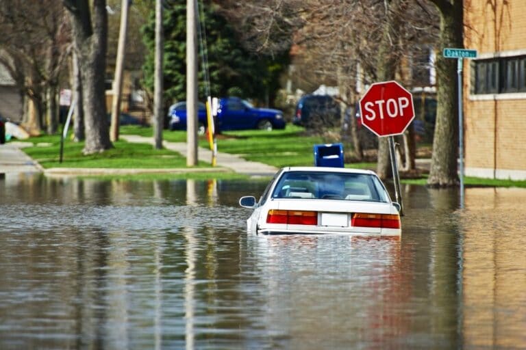
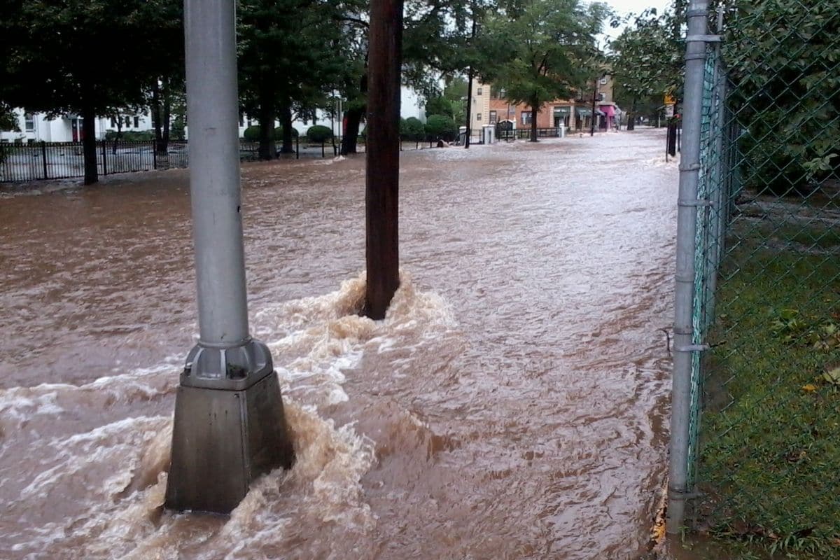
As we now know, using old data misses the increase in rainfall and intense rain events many areas have experienced in recent decades due to climate change. No data exists on a national scale to predict what future 1% rainfall may be. We are all aware the FEMA flood maps do not show expected future flood levels, and because the Atlas 14 volumes are often old, the maps will greatly under-predict flood levels.
ASFPM has been digging into this problem for a few years. We testified on this issue as far back as 2018, highlighting that NWS only developed new data for states that ponied up the funds to update the data, that the volumes did not cover the entire nation and there were discontinuities between the data for adjacent volumes. Even though the amount of funding needed to update the data and methodology is very low, no federal funds were available.
ASFPM succeeded in getting federal funding to do a nationwide update that will include future conditions thanks to the extraordinary efforts from our Water Resources Policy Expert David Conrad. He talked with NOAA, NWS, Congressional staff and many others to help raise visibility of the issue. The breakthrough was getting direct NOAA funding in the recent bipartisan Infrastructure Investment and Jobs Act (IIJA) — part of which will be used to develop a comprehensive precipitation frequency Atlas for the nation completed in the next five years. We will also work to ensure that NOAA continues to update the data every five years. This means new flood maps will better reflect the floods we see. As announced by NOAA’s Acting Administrator Mary Erickson during her ASFPM Conference plenary presentation, it is expected the new nationwide update will be called Atlas 15.
The next question is when we will have predictions for the future 1% chance rainfall? NOAA says it plans to complete the first Atlas 15 within five years. This will allow communities to use those future estimates for planning and would enable FEMA to add a future map layer to their flood maps. FEMA says they do plan to have a future flood layer on their maps at some point, but we don’t know the how and when yet.
Despite this recent achievement, our work is not finished yet. IIJA funding and authorization runs out in five years. So ASFPM is working with the House Science Committee and the Senate Commerce Committee on continuing to move forward toward completing specific longer-term funding and authorizations for NOAA to assure that updating of precipitation data and future trends information will continue on a reliable basis into the future. It is possible this legislation could be completed before the close of the current 117th Congress.
So the answer is: “Yes, we are making progress to get better rainfall data leading to better maps.” This should greatly reduce the number of times we have people and homes flooded that are not even shown in the high risk flood hazard area.