September 5, 2025
NOAA’s Flood Inundation Mapping Tool Expands to 60% of U.S.
By News Editor
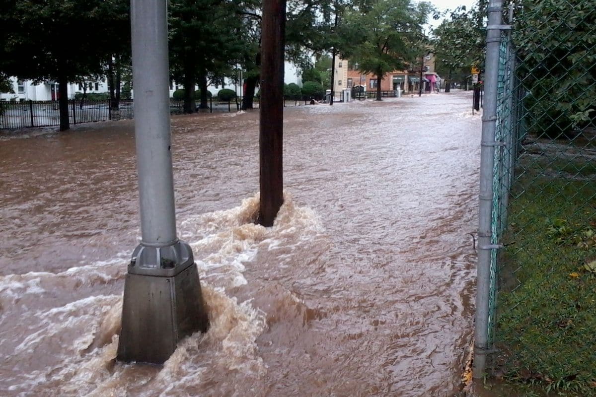
FIM helps provide approximate spatial estimates of land area that is covered in water, based on modeled forecast river flows and current conditions, with detailed information on where flooding impacts may occur.
August 11, 2025
After Brief Delay, NOAA’s Atlas 15 Project Moves Ahead
By News Editor
Atlas 15 will become the authoritative source for precipitation frequency information across the United States.
October 11, 2024
NOAA Atlas 15 Extreme Precipitation Pilot Dataset Released for Review
By News Editor
Floodplain practitioners are encouraged to provide feedback on this important new tool.

June 4, 2024
Climate Change Fueling Surge in Extreme Rainfall, Warns Climate Central Study
By News Editor
According to Climate Central’s analysis, the frequency and intensity of extreme precipitation events have risen markedly in recent decades.
June 1, 2022
Status Update on Better Rainfall Data
By Larry Larson, P.E., CFM
Better rainfall data will lead to better flood maps. Here’s where things stand at the moment.