Flood Risk Mapping Priorities
Will the National Flood Insurance Program ever get every community in the nation mapped? Will the required five-year updates be done in a way that actually reflects community needs and map update needs?
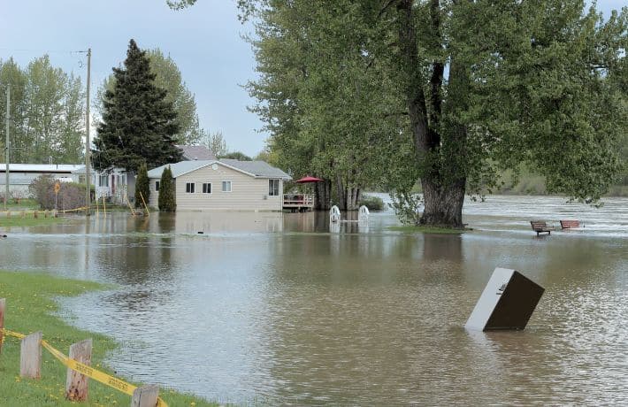
As we all know, the NFIP has only mapped one-third of the floodplain miles in the United States. That equates to 1.4 million miles mapped and twice that number that is unmapped. The NFIP tends to remap the same communities it has already mapped because that is where the most flood insurance policies exist — so the mapping is driven by FEMA priorities, including insurance, rather than local needs of floodplain management, mitigation, or planned development.
The reconciliation bill in Congress includes $3 billion for flood mapping in addition to the annual map funding. The $3 billion is twice as much money as Congress has allocated for flood mapping in the past seven years combined, and it would remain available until expended. If this bill passes, what will FEMA prioritize for funding with this additional map funding?
Here are the Risk MAP priorities FEMA put out recently:
| Maintain 80% NVUE | After achieving a significant milestone in the program (80% NVUE), we must maintain that existing inventory of 1.1M stream miles so that flood hazard information meets current program needs. |
Advance Ongoing Risk MAP Projects | There are over 1400 projects in progress at different stages in the regulatory production process. We will make progress every year to advance these projects closer to the finish line. |
| Modernize Risk MAP IT Infrastructure | This will allow us to keep up with current and future program requirements as well as comply with Federal security and privacy requirements. |
| Address Remaining Statute Requirements | Section 216 of the Biggert-Waters Act of 2012 requires FEMA to map areas of possible population growth, areas of residual risk (protected by levees and dams) inundation areas due to levee and dam failures, and future conditions. |
| Advance Future of Flood Risk Data (FFRD) | We will continue our exploration efforts through the FFRD initiative in support of a risk-informed NFIP and better meet the demands of our customers. |
ASFPM recommends most of this funding should focus on the fourth bucket — meeting the requirements from the 2012 NFIP reauthorization bill that addresses future conditions and flood risk. Many of the other buckets are part of the mapping process which will naturally fall into place, for example getting the unmapped communities mapped. Focusing on future conditions will help make sure the maps are more accurate for longer periods of time. Even if communities do not immediately use the future conditions for flood risk management regulation, there will be layers of digital information on the new maps that communities can use for planning, mitigation, and development plans.
The current process of updating flood maps every five years does not appropriately reflect the changing priorities of communities and states priorities or take into account added runoff from development or increased rainfall intensity. Addressing those future conditions is key to this process. Flood risk mapping, just as all aspects of flood risk management, must be a local, state, and federal partnership.