USGS Natural Hazards Mission – Translating Science to Action

Greetings. I’m Mike Grimm, the new associate director for the U.S. Geological Survey (USGS) Natural Hazards Mission Area. I’ve known many of you through my 26 years at the Federal Emergency Management Agency (FEMA). As a longtime ally of the Association of State Floodplain Managers, I’ve spent many years equipping and compelling people to reduce suffering from disasters. Now at the USGS, I see my role as continuing in this important mission of creating a more resilient nation.
Today, I wanted to reach out to the floodplain management community to raise your awareness of what I consider invaluable resources that our bureau provides for monitoring, assessing, preparing for, mitigating, and responding to natural hazards, specifically coastal hazards. For those who don’t know, the USGS brings an array of earth science expertise to support decision-making on environmental, resource, and public safety issues.
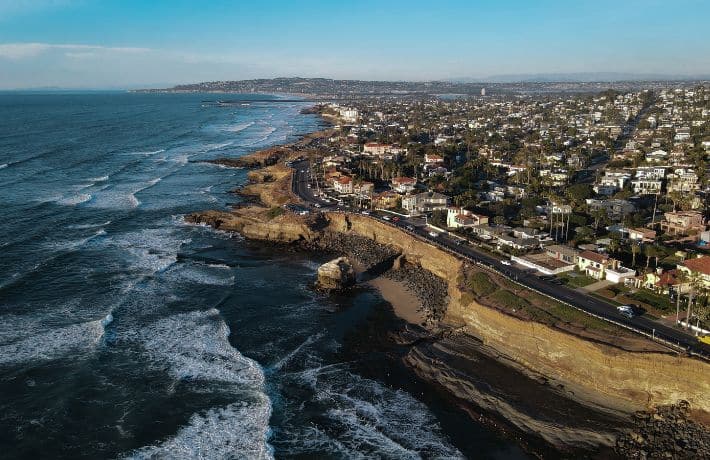
Each year, coastal communities across the United States face the threat of rising sea levels and more frequent, powerful storms. While the USGS is commonly known for natural hazards research related to things like earthquakes, landslides, and volcanoes, we also remain a strong and pivotal player in reducing risk, bolstering coastal resilience, and supporting floodplain management.
From our National Water Dashboard to employing cutting-edge technologies like lidar and machine learning, our bureau is at the forefront of understanding current hazard conditions and mapping vulnerable coastal areas susceptible to flooding and erosion. Access to a lot of this coastal research can be found in one place, the Coastal Science Navigator.
The Coastal Science Navigator serves as a gateway to a comprehensive suite of web applications, datasets, and maps. This website helps stakeholders discover and access the data, tools, and resources they need to inform decisions about coastal land-use planning and infrastructure development. By having a clear picture of coastal flooding and other risks, communities can be better equipped to mitigate these potential hazards. You can view the public launch webinar to learn more.
Within the Navigator, here are just a few examples of the more than 60 resources I feel can be beneficial to floodplain managers.
- Total Water Level and Coastal Change Forecast: In the face of hurricanes and severe storms, emergency managers need accurate information on coastal erosion and the potential for beach flooding. The Total Water Level and Coastal Change Forecast Viewer shows real-time forecasts of the timing and magnitude of shoreline water levels, including tides, storm surge, and waves, and their potential to erode the dunes that protect coastal communities. More information about the forecast is available in a geonarrative and in a video tutorial.
- The Coastal Change Hazards Portal: The Coastal Change Hazards Portal provides information about sea-level rise impacts, shoreline change, real-time and modeled extreme storm impacts, and wetland vulnerability. It provides access to national coastal change products, analyses, and supporting data to those working and living in coastal communities.
- Assessing the Future Likelihood of Coastal Change: The USGS uses machine learning to synthesize dozens of datasets and describe how erosion, storm frequency, relative sea-level rise, tidal flooding, storm overwash probability, and wave power all affect communities along the northeastern U.S. coastline. These Coastal Change Likelihood Assessments provide long-term forecasts of coastal change and are essential for planning for future vulnerabilities to people and resources.
- Hazards Exposure Reporting and Analytics (HERA): To support coastal communities in their planning, the Coastal Storm Modeling System (CoSMoS) team has developed the HERA application, which displays estimates of residents, businesses, and infrastructure that could be exposed to flooding from different storm and sea-level rise scenarios and can be used for hazard emergency planning.
To keep up with the latest developments and insights about natural hazards or coastal research, subscribe to the USGS Monitor Newsletter and the USGS Soundwaves Newsletter. These newsletters provide valuable updates, research highlights, and practical information to help communities stay informed and engaged in efforts to enhance their resilience.
As we look toward the future, we must strive to continue building a more resilient nation. One where new housing, highways, and infrastructure are built with risk in mind. But we can’t realize that vision alone. It’s through active partnerships that we can provide the science that supports informed decisions. A USGS-ASFPM partnership is a great next step and one I look forward to strengthening in the years to come.
Thank you and I look forward to seeing everyone in June in Salt Lake City at ASFPM’s 48th Annual Conference.