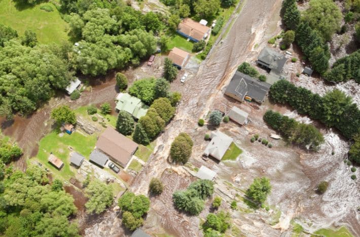
HUD Releases Guidance on Determining the FFRMS Floodplain
HUD’s update of its floodplain management regulations (24 CFR Part 55) expanded the regulatory floodplain from the 100-year floodplain, or 500-year floodplain for critical actions, to a forward-looking floodplain based on the Federal Flood Risk Management Standard (FFRMS).
The FFRMS includes three concepts for determining an area of increased flood risk:
- The Climate Informed Science Approach (CISA), in which modeling on sea level rise is incorporated into flood risk mapping to provide floodplain boundaries that change over extended time horizons.
- The 500-year floodplain approach, in which the 500-year floodplain serves as the regulatory floodplain instead of the 100-year floodplain.
- The Freeboard Value Approach (FVA), in which two feet, or three feet for critical actions*, is added to the 100-year flood elevation, and the floodplain is the area extending from the flooding source to that higher elevation.
The new Part 55 requirements also include elevation or floodproofing of structures, up to the FFRMS elevation, for all new construction and substantial improvement**.
Figuring out compliance with Part 55 therefore requires new and more technical methods. Previously, reviewers could just look at the right Flood Insurance Rate Map (FIRM) and see if the project is located in the 100-year or 500-year floodplain. When HUD formally adopts a CISA resource, reviewers must follow its maps where available. For now, reviewers may check on the availability of CISA maps to use optionally, but must also find the 100-year and 500-year flood elevations and compare those elevations to those of the project site.
This document from HUD, Defining the Floodplain for Office of Housing Environmental Reviews: Instructions and Resources, provides step-by-step instructions for reviewers to determine the boundaries of the floodplain and the flood elevation under the FFRMS, and to determine what the regulatory requirements are as a result. There are several online tools that can assist with this analysis, and these instructions include links to these tools and screenshots where helpful.

Please note that this resource is intended to provide a general guide for typical floodplain reviews, and will not cover all unique situations. Questions on individual environmental reviews can go to Multifamily and/or Office of Environment and Energy field staff. Contact information and geographic coverage for OEE staff can be found here.
This guidance, updated Oct. 2024, was developed by HUD’s Office of Housing for use in implementing FFRMS for Office of Housing programs, however the information in this document can be applicable to FFRMS implementation across other HUD programs.
*Critical actions are defined at 24 CFR 55.2 and are “any activity for which even a slight chance of flooding would be too great” including those that “Are likely to contain occupants who may not be sufficiently mobile to avoid loss of life or injury during flood or storm events, e.g., persons who reside in hospitals, nursing homes, convalescent homes, intermediate care facilities, board and care facilities, and retirement service centers. Housing for independent living for the elderly is not considered a critical action.”
** Substantial improvement is defined at 24 CFR 55.2 as “Any repair, reconstruction, modernization, or improvement of a structure, including a manufactured housing unit, the cost of which equals or exceeds 50 percent of the market value of the structure …. before the improvement or repair is started …”