Bridging the Gap: ASFPM Releases Outreach Materials for 2D Modeling
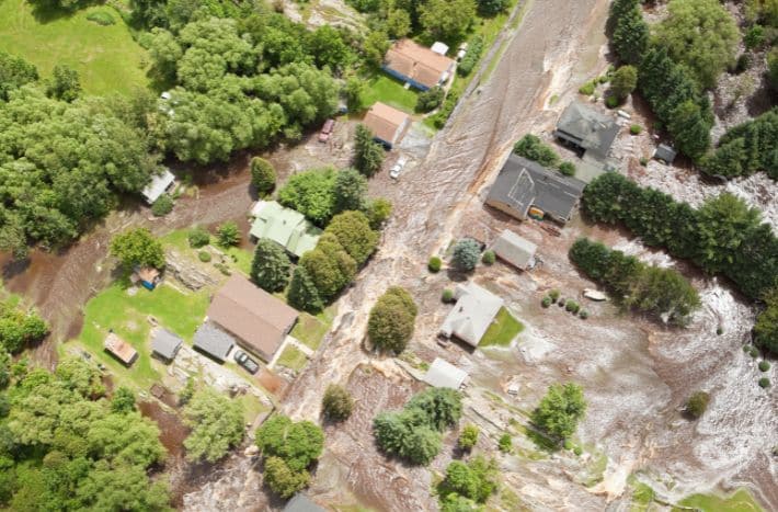
Communities rely on flood hazard maps from FEMA and their partners to manage development in and near flood hazard areas. Engineering models are used to generate the flood elevations that form the basis of these maps. Historically, the models used to develop the flood elevations were classified as one-dimensional, with data inputs consisting of slices (cross sections) along stream corridors. More recent engineering models are two-dimensional where the data inputs are grids that cover the entire surface area being mapped.
Through interviews with communities that had recently been provided flood hazard maps developed with 2D modeling, ASFPM found that, in general, local officials were not familiar with 2D modeling and had not received training on how to effectively use the results for managing development. The one exception was a community that became a Cooperating Technical Partner specifically to have more control over the mapping process.
ASFPM learned that the communities were provided maps developed with 2D models, including information on floodways, without clearly understanding the impacts or how to utilize all the data provided to them. To address this gap, ASFPM developed outreach materials to help communities understand how to use 2D modeling data to better manage development.
These new FEMA Risk Map resources include:
- 1D vs. 2D Modeling – Featuring information on the difference between one-dimensional and two-dimensional modeling
- Community Role in the Mapping Process – Offering suggested community involvement during the mapping process, and
- Managing Floodplains with 2D Modeling – Providing detailed guidance on how to best use the flood hazard information provided by 2D modeling.
The Managing Floodplains with 2D Modeling document provides details on how to use the 2D modeling results for managing development. Maps developed using 2D modeling often have evaluation lines that can be used similar to cross sections used in 1D modeling. Included in the guidance are recommendations related to accessing and storing copies of the modeling results, managing development using 2D model results, using evaluation lines and velocity results, reviewing development permit requests, and completing a no-rise analysis.
While these outreach materials should improve community understanding of the mapping process associated with 2D modeling and how to use the results for managing development, ASFPM determined that printed materials alone are not sufficient. A comprehensive training course on 2D Modeling for Floodplain Administrators is needed. ASFPM is in the process of developing this full training course, which should be available by the end of 2026.

The 2D modeling outreach materials were developed with support from FEMA Risk Management.